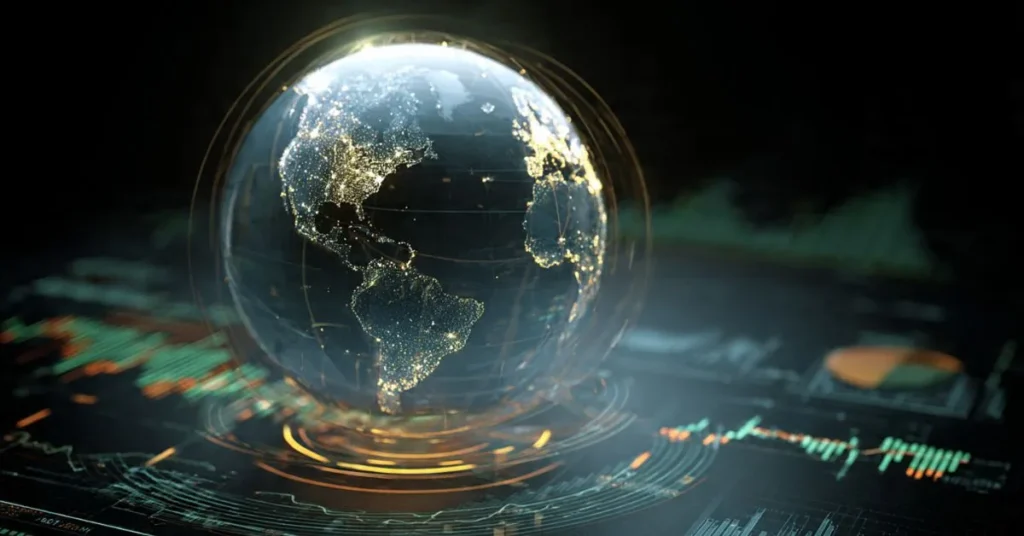
The Rise of Spatial Finance: Mapping Risk in 3D
Spatial finance starts from a simple but radical idea: every financial asset exists somewhere in the real world, and you can now see, measure, and monitor that “somewhere” in unprecedented detail. By linking satellite imagery, remote sensing, and geospatial datasets to balance sheets and securities, spatial finance lets investors verify whether a “green” project is actually reducing emissions, track deforestation around pledged carbon sinks, or monitor physical climate risk at the level of individual assets instead of broad regions. This guide explains what spatial finance is, the technologies behind it, and why being ready for it will soon be a prerequisite for serious ESG analysis, risk management, and long-term capital allocation.
The Rise of Spatial Finance: Mapping Risk in 3D Read More »